
Last Updated on July 27, 2025 by freebuffalo


Leaving Trondheim, I was going to ride mostly along the coast but the definition of coastline is anything but a line. Norwegian coast is made up of hundreds of islands all stitched together with some ingenious infrastructure: bridges over the sea connecting the islands, tunnels underneath the mountains and even an tunnel underneath the sea that I went through. Some of these islands were connected via short car ferries which was often a place to meet other cyclists.


The route I followed was largely Eurovelo 1, not signposted as much as I expected but Komoot App was handy and more reliable. This route is quite popular among those Bikepacking to Nord Kapp. Along the way, I met plenty of cyclists including a French guy who was cycling with his dog in his trailer!


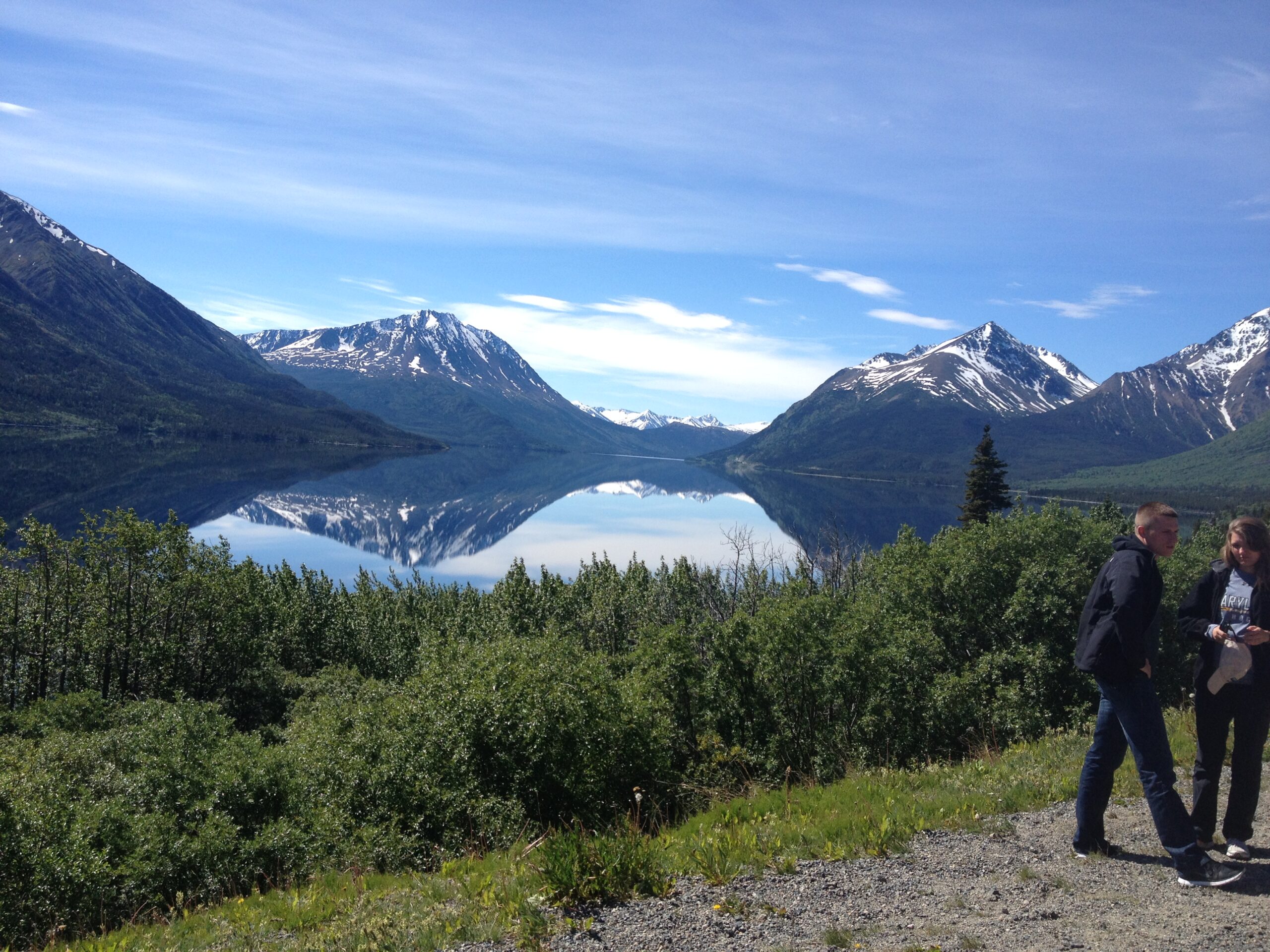
There were no bike lanes but the route was quite rural so not much traffic, at least most of the time, until I arrived at the Lofoten Islands. These islands are very popular among trekkers and there were tons of camper van tourists. This place was quite magical, was like something out of a fantasy movie. Fortunately, the road does not go over the tall mountains but around and sometimes under. But the undulations often added unto more than 1000m vertical ascent per day.


Every bend and every corner on the road opened up a different view and all of them breathtaking. I was lucky to have an excellent weather. But my luck ran out over the last 120km to Tromso when I had to take a bus to avoid the rain.


Route (697km): Trondheim – Holmset camping (123km) – Lund ferry terminal (83) – Vannesund campsite (80) – Sandnessjoen campsite (97km, via Vega and two ferry rides) – Moskenes (Lofoten Islands via two ferries) – Hammerstad campsite (138) – Sortland Camping (77) – Andenes (99) – Tromos (bus).

Leave a Reply